
Product
-
Weather station
-
Road Weather Station
-
Photovoltaic Inspection
-
Atmospheric monitoring
-
Operating condition monitoring
Recommended article
- photovoltaic testers 400V/20A Range Meets the On-Site Testing Needs of Photovoltaic Modules
- Application of Low-Power Meteorological observation equipment in Unattended Field Monitoring
- How Portable Solar Cell Testers Rapidly Perform PV String I-V Curve Testing
- The price of meteorological monitoring systems varies from 3,900 to 39,800 yuan depending on the number of monitored elements
- Power Quality Measurement Makes Power Grid Harmonic Detection and Data Logging More Efficient
- High-Precision Meteorological observation equipment Aids Field Environmental Monitoring
Contact us
Shandong Fengtu IOT Technology Co., Ltd
Sales Manager:Ms. Emily Wang
Cel,Whatsapp,Wechat:+86 15898932201
Email:info@fengtutec.com
Add:No. 155 Optoelectronic Industry Accelerator, Gaoxin District, Weifang, Shandong, China
Fog and Visibility Monitoring Technology
Article source:Weather station time:2025-11-03 09:28:46 viewed:598times
Fog is a condensation composed of tiny water droplets or ice crystals suspended in the near-surface atmosphere. Its presence weakens light propagation, leading to reduced visibility. Visibility, defined in meteorology as the maximum horizontal distance at which a person with normal vision can identify a target object, decreases due to the scattering and absorption of light by suspended particles in the air. Although fog droplets themselves are non-toxic, they severely hinder visual perception through this physical process, posing serious threats to traffic safety, particularly for highway and air transportation.
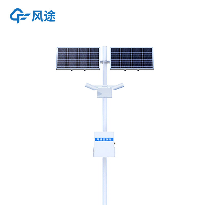
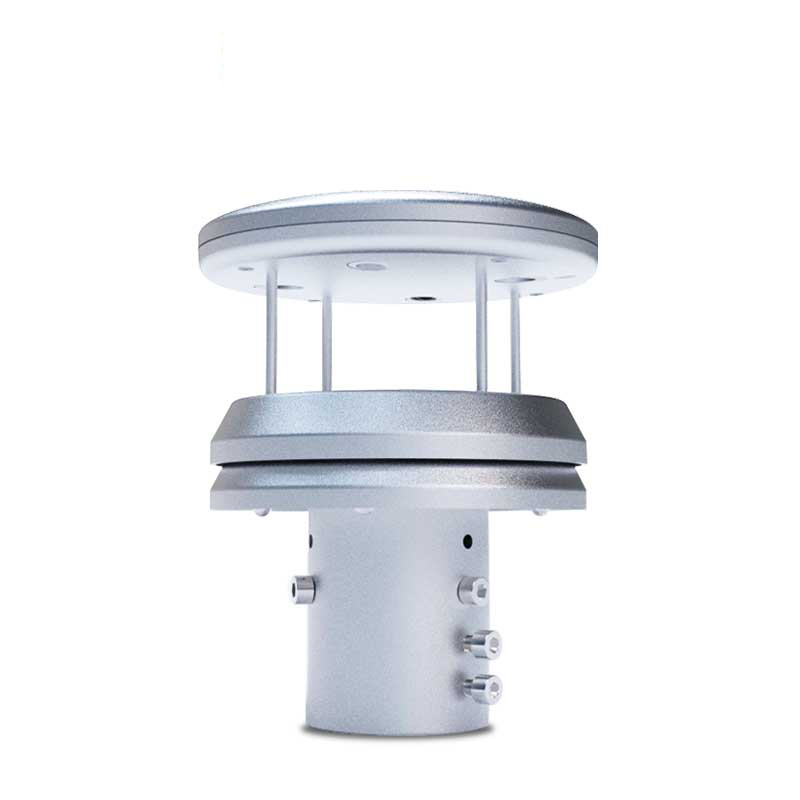
Fog Zone Visibility Monitoring System
To accurately quantify and continuously track this environmental parameter, the Fog Zone Visibility Monitor was developed. This is an integrated meteorological observation facility specifically designed for real-time, automatic measurement of atmospheric visibility. It is often deployed on highways, airports, ports, and fog-prone road sections in mountainous areas and river valleys, providing direct data support for the safe operation of core transportation corridors.
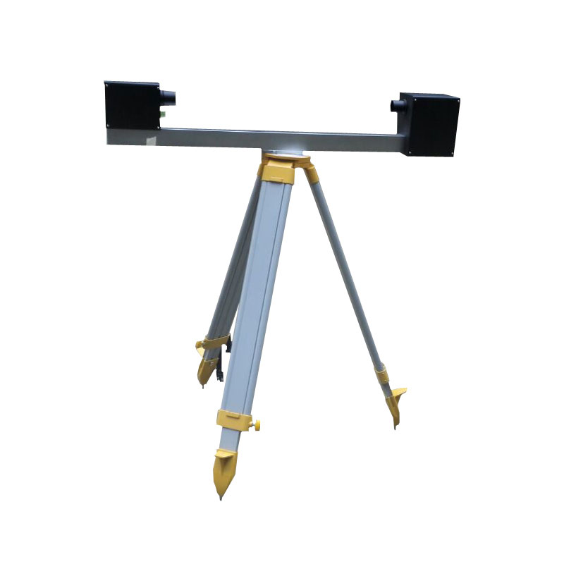
The core measurement component of the monitoring station is the forward scatter visibility sensor. Its working principle is based on Mie scattering theory: the transmitter emits a beam of infrared light with a specific wavelength. As the light passes through the atmosphere, it is scattered by aerosol particles such as fog droplets and haze in the air. The receiver is positioned at a specific angle (typically a forward scatter angle of 30° to 45°) to specifically receive this scattered light energy. The higher the concentration of suspended particles in the air, the stronger the light scattering effect and the stronger the scattered light signal detected by the receiver. By accurately measuring the intensity of this scattered light and using a preset physical algorithm model, the atmospheric extinction coefficient can be inverted, and the precise meteorological optical range (MOR), commonly referred to as visibility value, can be calculated.
System Components and Data Processing
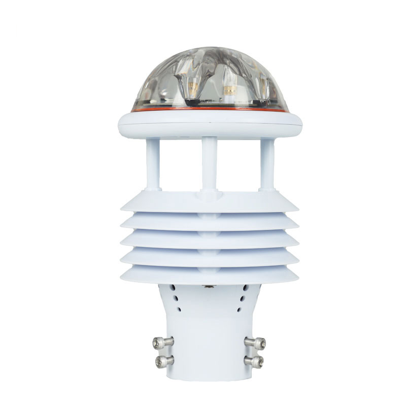
In addition to the core forward scatter visibility sensor, a fully functional monitoring station typically integrates multiple auxiliary sensors to form a comprehensive environmental monitoring unit. This includes temperature and humidity sensors for measuring temperature and humidity, as relative humidity is a key factor in fog formation; and may include wind speed and direction sensors for analyzing fog formation, dissipation, and diffusion patterns. Raw data collected by all sensors is aggregated, processed, and initially calculated by the main control collector within the station.
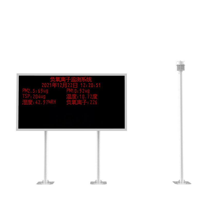
Data Transmission and Alarm Mechanism
The monitoring station transmits processed standardized data in real-time to a remote monitoring center through wired or wireless communication modules (such as 4G/3G networks). This allows managers to clearly grasp the real-time visibility conditions and changing trends at various monitoring points in the background. Once the visibility value drops below a preset safety threshold (e.g., 200 meters or 500 meters), the system immediately triggers an alarm mechanism, issuing warnings to highway management departments, traffic command centers, or airport operators through monitoring software, SMS, or audio-visual equipment.
Applications in Traffic Management
This real-time, accurate visibility data serves as the scientific basis for initiating and implementing low-visibility traffic control measures. Traffic management departments can use this data to issue timely fog warnings, dynamically adjust speed limits, and even decisively close highway ramps or implement diversion when necessary, preventing serious chain-reaction rear-end collisions at the source. In the aviation sector, this data directly supports the determination of flight takeoff and landing standards, ensuring flight safety.
This paper addresses:https://fengtuweather.com/industry/825.html
Related products
Related article
-
Radar speed gun Supports Real-Time Printing of Speeding Data
2026-06-22 -
Features Galore: Key Advantages of Environmental Monitoring Station FT - FZ3
2024-10-12 -
Introduction to Road Condition Detectors
2024-06-27 -
Dust monitoring system for in-depth environmental protection
2024-02-20 -
Why install a snow depth monitoring station?
2024-01-25 -
Local Air Quality Soars as Dust detector Drives Effective Pollution Control
2024-12-06 -
Controlling Erosion & Dust: FT-QX9 Meteorological System for Hydropower Spoil Management
2025-06-23 -
Integrated Road Weather Station: Simplifying Installation, Optimizing Monitoring
2025-04-02