
Product
-
Weather station
-
Road Weather Station
-
Photovoltaic Inspection
-
Atmospheric monitoring
-
Operating condition monitoring
Recommended article
- Meteorological observation station Enables High-Precision Automatic Acquisition of Meteorological Elements Across Multiple Scenarios
- Police radar gun Achieves Vehicle-Mounted Dynamic Speed Measurement and Data Management Based on the Doppler Effect
- Multifunctional weather station Enables Automatic Meteorological Data Acquisition and Transmission
- Radar speed gun Supports Real-Time Printing of Speeding Data
- The FT series of meteorological observation equipment covers various types, including portable, explosion-proof, ultrasonic, and hydrological models
- Handheld IV Testers Improve On-Site Testing Efficiency for Photovoltaic Power Plants
Contact us
Shandong Fengtu IOT Technology Co., Ltd
Sales Manager:Ms. Emily Wang
Cel,Whatsapp,Wechat:+86 15898932201
Email:info@fengtutec.com
Add:No. 155 Optoelectronic Industry Accelerator, Gaoxin District, Weifang, Shandong, China
Forest Weather Station Real-time Monitoring of Forest Area Weather and Fire Risk Levels
Article source:Weather station time:2026-02-12 09:36:41 viewed:370times
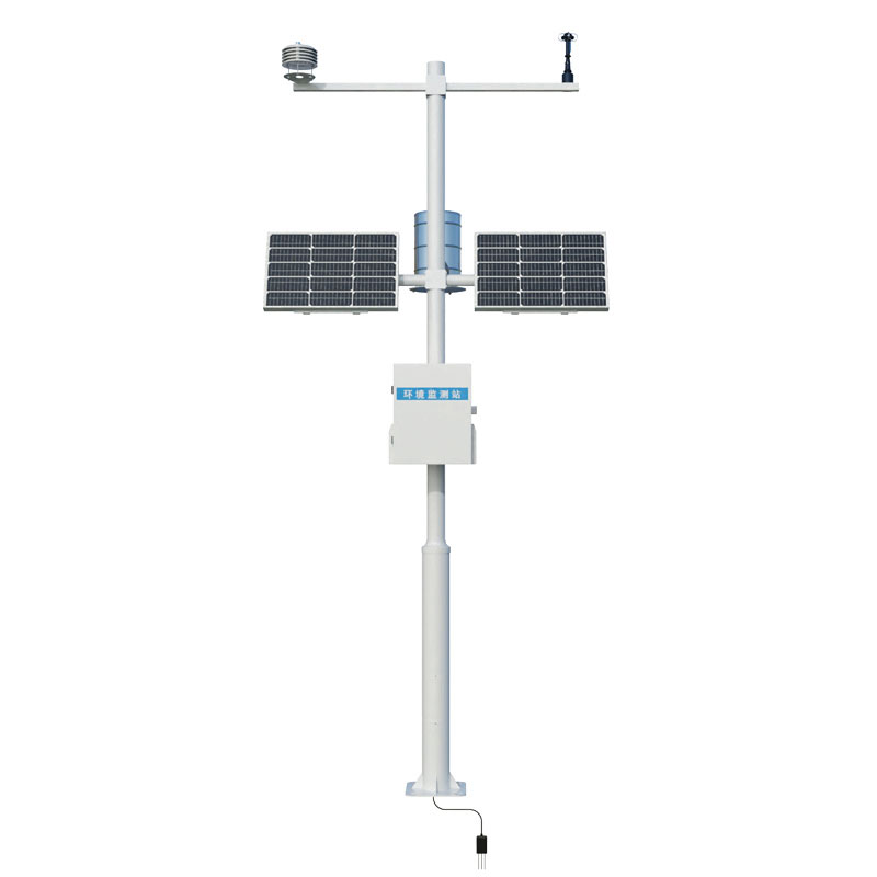
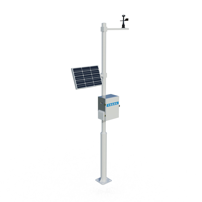
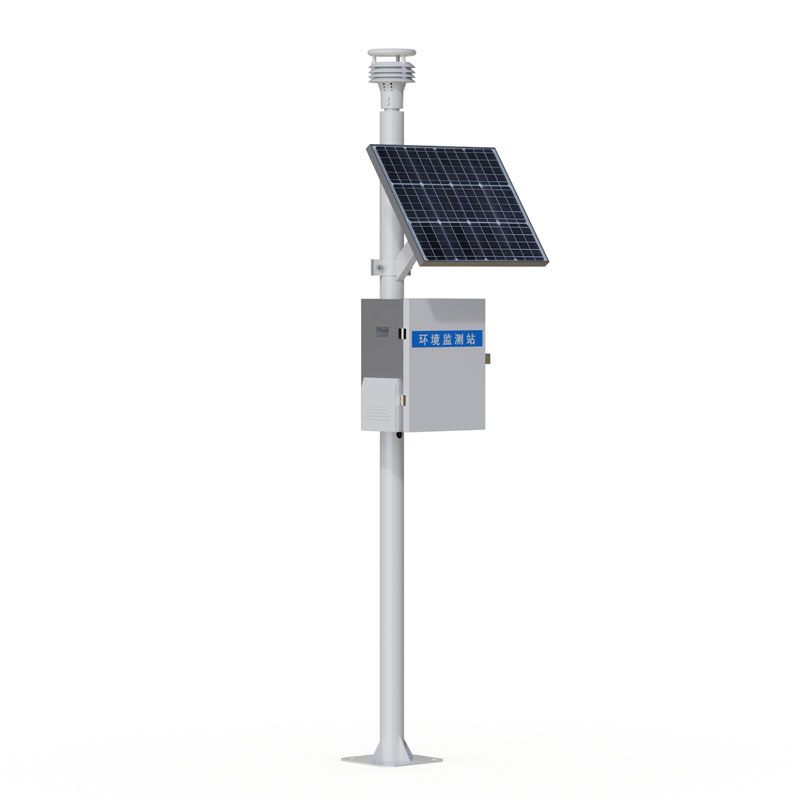
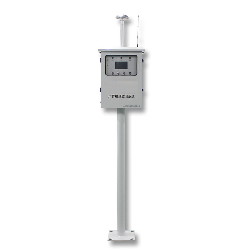
Designed specifically for forest fire prevention, the Forest Weather Station integrates sensors for wind speed and direction, temperature and humidity, and solar radiation to collect real-time meteorological factors in forest areas and calculate fire risk levels. The equipment employs low-power consumption and long-distance transmission technology to support fire risk early warning, fire point location, and emergency response. It is suitable for deployment in key forest areas, nature reserves, and firebreaks.
The occurrence and spread of forest fires are directly influenced by meteorological conditions. Wind speed dominates the speed and direction of fire line spread, relative humidity and temperature determine the moisture content of combustibles, and solar radiation affects surface evaporation and vegetation dryness. Traditional forest meteorological data relies on manual observation or national reference stations, which are sparsely distributed and cannot reflect the microclimate differences under complex terrain. As a dedicated ground-based observation device for forest fire prevention, the Forest Weather Station collects high-resolution meteorological data through dense deployment, providing on-site evidence for fire risk early warning.
The monitoring station consists of sensor units, a data acquisition unit, a power supply module, and a communication module. The wind speed and direction sensor uses mechanical cups and a wind vane or ultrasonic principles to output instantaneous wind speed, maximum wind speed, and prevailing wind direction. The temperature and humidity sensor is housed in a radiation-proof ventilation hood to prevent measurement errors caused by direct sunlight. The solar radiation sensor measures total radiant flux to assess surface drying rate and combustible heat load. Some models can be equipped with rain gauges, soil temperature and humidity sensors, and video monitoring to expand the input parameters for the fire hazard model.
The data logger scans sensor data at a minute-by-minute frequency, calculating the initial spread rate, combustible humidity code, and fire weather index based on the Canadian Forest Fire Risk Rating System or Chinese national standards. Data is transmitted to the forest fire command center via 4G, BeiDou short message service, or VHF to generate a fire hazard level distribution map. When the monitoring station detects continuous high temperature and low humidity and gusts reaching the threshold, the platform automatically issues yellow to red alerts, reminding patrol personnel to strengthen lookout and restrict fire use in forest areas.
The Forest Weather Station system is powered by a solar-powered float-charged battery, capable of operating for more than fifteen days under continuous cloudy and rainy conditions. The overall power consumption is controlled below the watt level, allowing for long-term deployment even in forest areas without mains power. The equipment boasts an IP65 or higher protection rating, withstanding extreme temperatures, dust storms, and insect intrusion. The mounting bracket is hot-dip galvanized, providing wind resistance of at least 45 meters per second, making it suitable for mountaintops, fire lookout towers, and forest gaps.
Multi-station networking can form a forest meteorological grid monitoring system. Combined with digital elevation models and combustible material type layers, fire risk forecasts can be refined to the scale of small watersheds or ridges. During fire command operations, the most recent 30 minutes of real-time weather data provides decision-making references for fire prediction and firebreak direction. Accumulated historical data can also be used to analyze seasonal fire risk trends in specific forest areas, optimizing planned burnout windows and patrol force allocation.
Compared to mobile handheld weather instruments, fixed monitoring stations emphasize continuous time-series recording and unattended operation. Compared to satellite heat source monitoring, ground-based weather stations capture pre-ignition conditions in advance, providing hourly warning lead times. my country's key fire-prone areas have established a three-tiered deployment system consisting of national backbone stations, provincial-level denser stations, and county-level micro-stations. Forest Weather Station serves as the terminal node, filling gaps in meteorological perception capabilities in blind spots. With the expansion of IoT and dedicated forest network coverage, data collection is extending to multispectral vegetation moisture and atmospheric electric fields, serving the construction of a lightning fire early warning and three-dimensional fire prevention perception system.
This paper addresses:https://fengtuweather.com/company/880.html
Related products
Related article
-
Negative Oxygen Ion Detector Company
2024-05-14 -
Geological Disaster Monitoring Systems by Fengtu Technology
2025-09-08 -
The Versatile Applications and Features of Car Vehicle Mounted Auto Weather in Meteorology
2025-02-20 -
Data-Driven Stewardship: The FT-CQX9 Grassland ecological monitoring station for Grassland Protection and Sustainable Livestock Farming
2025-11-13 -
PV Module Power Tester Enables Precise Testing of 1500V High-Voltage Modules
2026-03-18 -
Portable & Efficient: Road Weather Information System for Traffic Sectors
2025-09-18 -
Energy-Efficient Small Automatic Weather Station: Wireless Data Transmission for Smart Monitoring
2025-06-11 -
compact weather station Multi-Element Monitoring and Multi-Domain Applications
2026-01-26